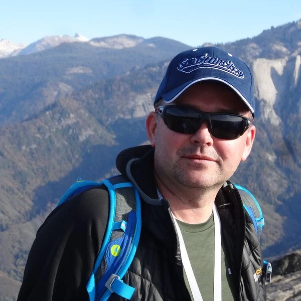
dr hab. inż. Piotr Wężyk, prof. URK

Team leader UAK - Prof. UR. Piotr Wężyk has 32 years of experience in research and teaching at BSc., MSc., and postgraduate level of geoinformatics in forestry, urban forestry and agriculture in the field of: LiDAR, Remote Sensing, landscape architecture at UAK, LMU München (Germany), BOKU (Austria), UAM Poznan (Poland) and UJ Krakow (Poland). He was organizer of many Summer Schools (eg. GeoGorce or SIG Forestry EARSeL), lecturer and co-editor of books and e-learning materials for courses prepared for Polish public administration (over 750 participants), e.g., usage of LiDAR or satellite remote sensing. He has professional experience from many international (5FP UE, LIFE UE) and national projects on research, development and commercial implementation of geoinformation technologies. Piotr Wężyk is senior expert in the field of laser scanning (LiDAR: ALS, TLS, MLS, ULS, HLS), satellite Remote Sensing (VHRS: WorldView-3,2; Satellogic; SkySat Planet Lab.; Kompsat; HRS; PlanetScope SuperDove; MR: Sentinel-2; Landsat 7,8), digital photogrammetry, UAV, image interpretation, image analysis / classification (GEOBIA), 3D and 4D spatial GIS analyses, landscape audits, precision agriculture, GNSS, Urban Forestry and Ecosystem Services.

